NASA Satellites Navigate Without GPS
A missão Starling testou uma forma autônoma de pequenos satélites descobrirem onde estão usando câmeras, estrelas e objetos em órbita, sem depender de GPS.

Level 1 (A2)
🎧 Listening Audio (Level 1)
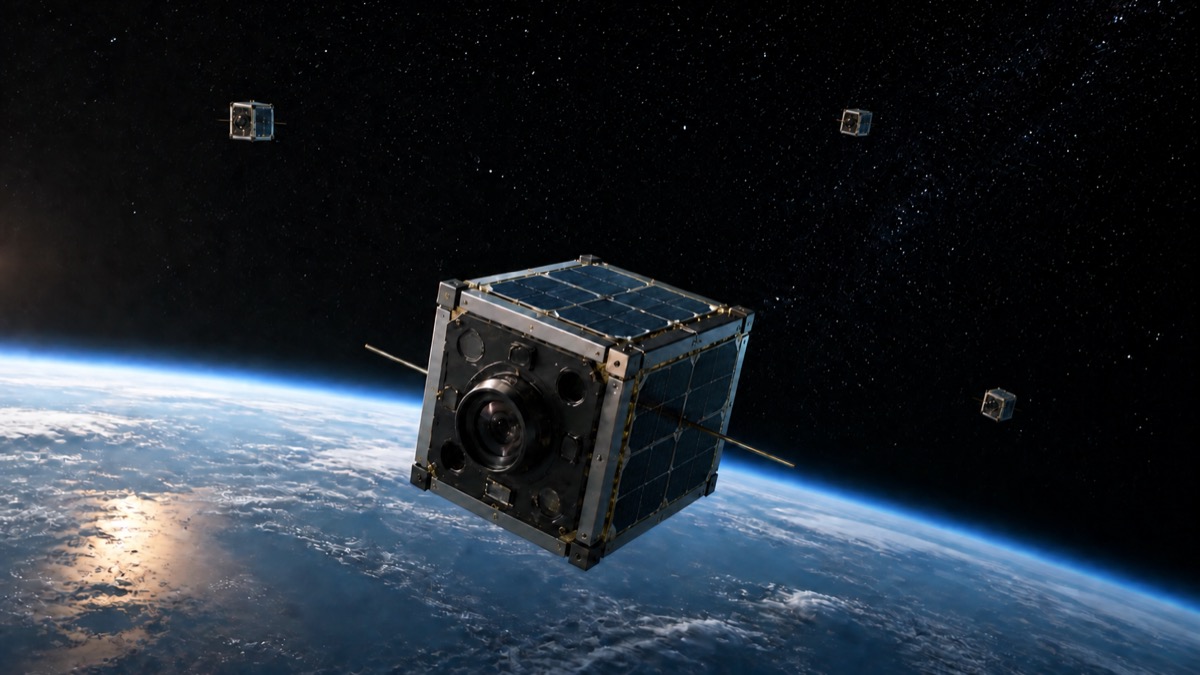
NASA has tested a new way for small satellites to find their position in space without GPS. The test was part of the Starling mission, which uses four small satellites called CubeSats. The new system is named FALCON. It helps a satellite look at stars and other objects in space, compare them with stored information, and calculate where it is. This is a form of independent navigation because the spacecraft can do important work without waiting for people on Earth.
GPS works well near Earth, but its signals can be weak or unavailable near the Moon or farther away. FALCON uses a star-tracker camera, an instrument that normally helps a spacecraft understand which direction it is facing. During the test, the camera also observed other satellites and pieces of space debris. The system compared these observations with a catalog of known objects and used them as reference points. In this way, Starling could estimate its own orbit.
The experiment also improved information about other objects in space. The satellite carried a catalog of about 20,000 objects. Over three days, FALCON improved the known orbits of more than 200 of them without help from operators on the ground. Better information can support collision avoidance, which means helping spacecraft stay away from dangerous objects.
NASA says this technology could help future groups of satellites work near the Moon or Mars. It may also help scientists combine measurements from several places in space. Later in 2026, the four Starling satellites are expected to share tracking information and improve their positions together. The test is an important step toward spacecraft that can travel and work more independently.
🔑 Key Vocabulary (Level 1)
🗣️ Let's Discuss (Level 1)
- 1What is the name of NASA's new navigation system?
- 2Why may GPS be difficult to use near the Moon?
- 3What did the Starling cameras observe during the experiment?
- 4How can better orbit information help keep satellites safe?
- 5Would you trust a spacecraft to make navigation decisions without people on Earth? Why?
✍️ Exercises
Practice what you learned in Level 1
Quick Quiz
How many CubeSats are part of the Starling mission?▼
Answer:
Four
What can FALCON use as reference points?▼
Answer:
Known objects in space
Why is better orbit information useful?▼
Answer:
It can help avoid collisions