NASA Data Improves River Forecasts
Dados de satélite da NASA e aprendizado de máquina estão ajudando uma empresa de energia a prever o fluxo de um rio e administrar água, eletricidade e segurança.

Level 1 (A2)
🎧 Listening Audio (Level 1)
NASA Earth data is helping people predict how much water will move through the Cowlitz River in Washington state. Tacoma Power uses a system called HydroForecast. It combines weather information, river measurements, and satellite data about snow and plants. The system makes a new prediction every two hours. This gives workers useful information from a few hours to several days before the water arrives.
The work was especially important in 2026. Much of the western United States had a snow drought. This happens when mountains have much less snow than normal. Warm winter weather caused more rain and less snow. On the Cowlitz River, the snowpack was only 20% to 50% of normal. Rain runs into rivers quickly, but mountain snow can store water and release it slowly during spring and summer.
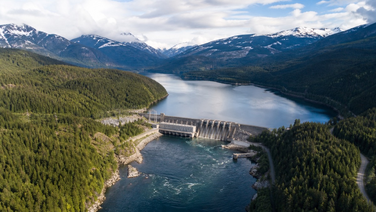
Tacoma Power operates the Mayfield and Mossyrock dams. Together, they make enough electricity for more than 151,000 homes each year. A river-flow forecast helps workers decide how much water to keep and how much to release. During a large storm in December 2025, the short-term forecast helped them prepare for a fast rise in water. Later, during a dry spring, the seasonal forecast showed that summer water could be limited.
Workers kept more water in each reservoir than usual. They also continued to watch for new storms. Tacoma Power entered the summer with water levels near average, even after a very dry spring. The stored water supports electricity, fish habitat, recreation, and public safety. The system does not control the weather, and workers still use gauges and their own judgment. However, it turns information from space into practical help on the ground. This is a positive example of science supporting careful decisions when water conditions are difficult.
🔑 Key Vocabulary (Level 1)
🗣️ Let's Discuss (Level 1)
- 1What kinds of information does HydroForecast use?
- 2Why was the snow drought a problem for the Cowlitz River?
- 3How did the forecast help workers during the December storm?
- 4Why did Tacoma Power keep more water in its reservoirs during spring?
- 5Which other community decisions could use information from satellites?
✍️ Exercises
Practice what you learned in Level 1
Quick Quiz
What does HydroForecast predict?▼
Answer:
The amount of water moving through a river
Why was mountain snow important?▼
Answer:
It could store water and release it slowly
What happened to reservoir levels by early summer?▼
Answer:
They were near average